The Earth Has Eyes Now
Imagine a machine that sees the Earth not just as it is but as it was, and as it will be.
It knows when a rainforest breathes back to life. It senses the ghost of a glacier long gone. It watches coastlines redraw themselves under rising seas, and tracks, in chilling precision, the slow-motion collapse of ecosystems before human eyes ever notice.
This is not a satellite. This is not a camera.
This is AlphaEarth, Google DeepMind’s new AI sentinel. And it’s not just watching our planet… It’s reading it.
Beyond Surveillance: The Birth of AlphaEarth
For decades, environmental scientists have tried to make sense of the planet's data hundreds of satellites, petabytes of images, decades of climate models. But Earth, wild and restless, doesn’t sit still long enough for clean answers. Clouds get in the way. Sensors disagree. Time gaps yawn wide.
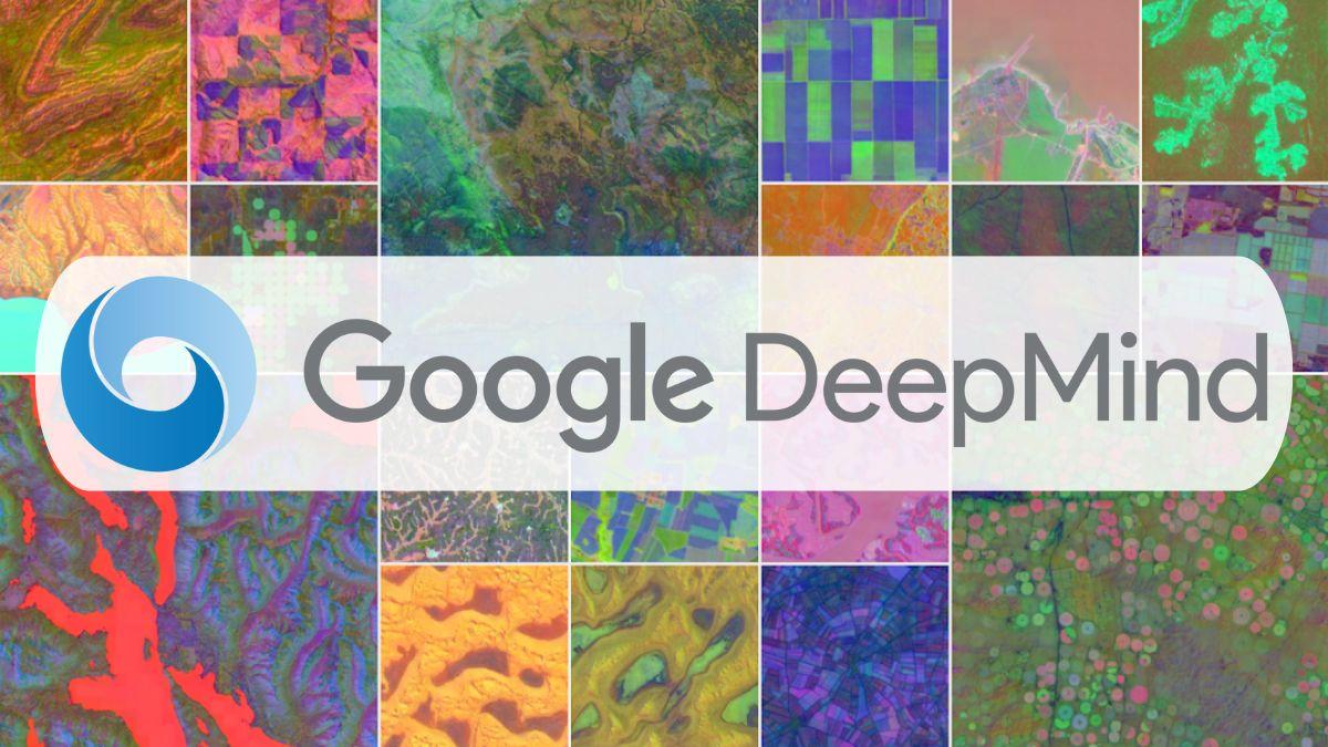
Then came July 2025. Google DeepMind launched a quiet revolution:
AlphaEarth Foundations - A virtual satellite made entirely of AI.
Instead of relying on a single lens in the sky, AlphaEarth learns from every satellite. It ingests radar, LiDAR, multispectral imagery, and historic climate simulations to generate a real-time, high-resolution, 64-dimensional “fingerprint” of every 10×10 meter patch of Earth.
The result? Not just a photo, but a memory. Not just a map but a mind.
The Planet, Reimagined in Code
Every grain of sand, every square of farmland, every shifting glacier now has an embedding, a compact digital signature that tells a story: what it is, what it was, and how it’s changing.
Want to see how the wetlands in Bangladesh expanded since 2017?
Curious where illegal roads are carving through the Amazon in real time?
Need to measure crop health across India or track coral bleaching in the Pacific, without waiting months?
AlphaEarth does it in seconds. No giant server farms. No room-sized climate labs. Just raw planetary intelligence, compressed into simple, fluid insights.
- It’s like Google Maps for Earth’s soul.
- The AI That Knows Where the World Is Breaking
- But this isn’t just cool tech, it’s a planetary defense system.
More than 50 organizations already use AlphaEarth to:
- Detect illegal deforestation before it hits headlines
- Predict flood zones days in advance
- Monitor biodiversity collapse across protected reserves
- Track glacier retreat, coastal erosion, and urban sprawl
It’s not waiting for the data to come in. It’s watching as it unfolds. And that changes everything.
For the first time, we can respond to environmental crises not with delay but with foresight. Governments can adjust water policy before drought hits. Conservationists can respond to threats before the trees fall. Cities can reroute development around ecological tipping points, backed by an AI that sees from above and beyond.
The Earth’s Digital Twin And Its Oracle
Google calls AlphaEarth a “virtual satellite,” but it’s really more than that.
It’s a digital twin of our living planet updated daily, thinking hourly, remembering everything.
And while it doesn’t capture humans (no faces, no private imagery), it does see the footprint we leave behind each road, roof, and rice field reshaping Earth in real time. With AlphaEarth, we don’t just observe the world. We understand it.
We see the invisible scars. We feel the pulse of change. And if we act fast enough we may just save what’s left.
Welcome to AlphaEarth: Where the Planet Tells Its Story
There’s something both thrilling and terrifying about AlphaEarth. It offers no comfort. No illusions. Just truth, pixel by pixel. The truth of melting ice caps. The truth of rebounding forests. The truth of what we’ve lost and what we still might protect. We are no longer blind. We can no longer say, “We didn’t know.”
Because the Earth is speaking. Loudly. Clearly. Through AlphaEarth.
Discussion
Start the conversation
No comments yet
Be the first to share your thoughts on this article. Your insights could spark an interesting discussion!